Sometimes buildings have a "height" key, i.E. in New York.
However I have not been sucessful until now to convert the height into a floors attribute which will be accepted by ScenProc.
Can someone correct my script?
(maybe arnog )
Sometimes buildings have a "height" key, i.E. in New York.
However I have not been sucessful until now to convert the height into a floors attribute which will be accepted by ScenProc.
Can someone correct my script?
(maybe arnog )
If you already installed a former version of AeroScenery, then it might be needed to delete this (folder) key, which was helpful in my installation:
Computer\HKEY_CURRENT_USER\Software\AeroScenery
Be sure to first backup your registry!
I agree to HiFlyer:
Don't make them foggier then they are just now!
I think this is an important subject where a lot can go wrong!
In FSET (with Google) the highest senseful Download Resolution is -1. That belongs to Geoconvert Level 15. Only makes sense for quite small areas.
When selecting Download Res 0, then 14 is the max GC Level, with 15 no tiles are generated.
So typically I use Download Res 1 (which is about 1m) and geoconvert it to 14.
If we know the Google Zoom Level for 1m per pixel we easily could convert it, to get a feeling for the right zoom factor.
(Why do I refer so strong to FSET? It was the only tool we used until now...)
Hi Nick,
I repeated the geoconvert with attribute mask=true.
The result is ........ beautiful!
With mask:
Without mask:
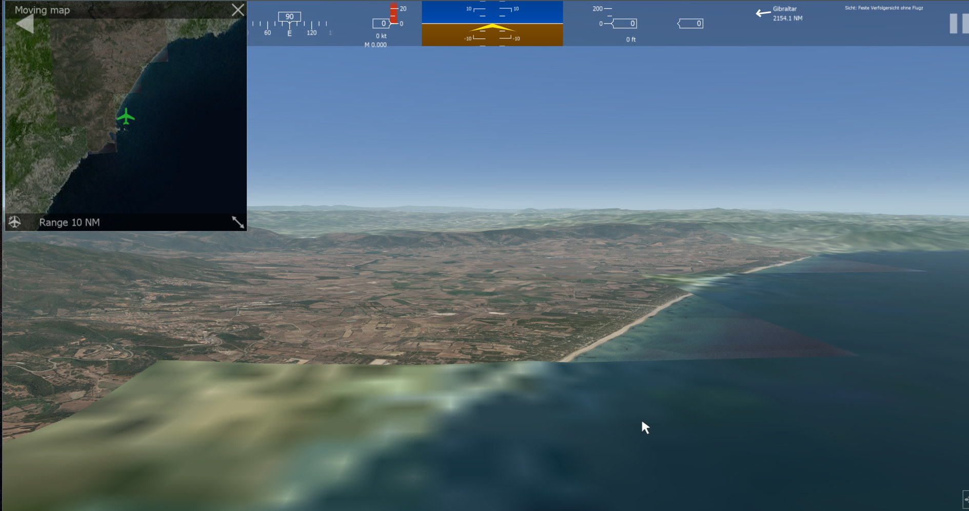
The missing squares are filled now. Also my fears, there could be black stripes where two of your big tiles edge to each other resolved.
Obviously the strict cutting from you against the AFS2 limits prevented those.
Interestingly also the non maked tiles showed now problem, as long as they are on the land.
Only the mixed land/water tiles where google supresses some water parts do bring a problem when not masked.
So my conclusion is to keep the masks on in your program
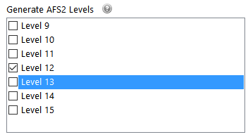
I am eager to see a level 20 tile when you introduce the Grid Square Selection size.
Question: equates Zoom Level 20 to FSET -1? And so should be generated as AFS2 Level 15?
Could you write the appropriate Zoom Level after these Level entries into this table?
Now I could more or less successfully converted a big segment.
To avoid any black stripes by masking, I switched the masking to "off".
Now here is my problem. When converting the water edge of sardinia, there are blocks which did not convert, though the definition of the segment is well including the missing part.
Of cause there is also the situation, that google stops delivering tiles with too much water on it. So this caused a raw pictures like this:
Which eventually might cause these missing blocks:
Can you use an Alpha Layer to cover the missing parts and then iclude those tiles for a complete conversion?
For completenes I also include my settings:
Hi Ray,
if you use this definition in ScenProc, each house with flength > 10 should show a gabled roof.
Adjust the code to your liking
CreateAF2Building|building="*" And FAREARAT>0.7 And FLENGTH < 10|1|flat|residential
CreateAF2Building|building="*" And FAREARAT>0.7 And FLENGTH >= 10 And FLENGTH < 14|2|gable|residential
CreateAF2Building|building="*" And FAREARAT>0.7 And FLENGTH >= 14 And FLENGTH < 20|3|gable|residential
CreateAF2Building|building="*" And FAREARAT>0.7 And FLENGTH >= 20 And FLENGTH < 24|4|gable|residential
Cheers,
Thomas
The cultivation shows palms where other vegetation has been defined.
Hi Nick,
I tried v0.4 with these parameters:
The memory, which normally shows 13 GB free, got smaller and smaller. When it reached 450 MB free, Geoconvert crashed.
Please see the Geoconvert log attached.
I do not want the stiched areas beeing too small, as otherwise I can not edit them anymore (too many files).
Can you please let me limit the amount of files you send to geoconvert?
8 of them normally do not make a problem.
Seconds before the crash:
Cheers,
Thomas
Thank you IPACS for activating the developer camera for all of us.
Please see this link for details:
Cheers,
Thomas
This is really becoming a great tool, for which a lot of users are waiting since a long time.
In my oppinion IPACS should help Nick in every way they can!
Can you also incorporate a limit, how many tiles shall be geoconverted at once?
The exact amount before geoconverter crashes seems to be depending from memory sise and tile size.
Hello Nick,
Thank you for v0.3
I tested it and the program ran fine the first 3 steps.
Zoom Level 17, AFS2 Level 11 +12
However when geoconverting started, it only did the first 2 Tiles, then died without message.
When I move 20 from the 30 tiles out of the way, geoconvert ran properly.
So my recommendation is to start geoconvert in smaller chunks.
Please prefer the unmasked mode - otherwise adding multiple conversions will get black areas
Cheers,
Thomas
Thank you very much Paul for your finding.
It is easy to import the json file into QGIS and export it from there as shp file, which could be read by ScenProc.
This will bring our Honolulu project a lot forward.
The amount of buildings seem to be VERY complete, much more then the existing OSM data.
Imported into QGIS:
It also shows more complex buildings:
Actual view with rectangular buildings, based on the new data:
Cheers,
Thomas
Nick,
for the moment you might stop to deal with the complicated AID file.
The only thing you need is the png and tfw file as pair and one TMC for all (covering the total area of all pngs to convert).
Geoconvert will produce the aid file from it.
The structure of the tfw is very easy:
minimal tmc lines:
Try it with one single tile first.
If that does not work, check your steps_per_pixel calculation!
Thank you for version 0.2
Unluckily I still see a comma problem.
It is present in the .tmc file and .aid file. The .aero however is ok.
I have 16 GB of RAM, which never has been used more then 50%.
Please also take note, that in the .aid the coordinates done with POINT, the steps_per_pixel however with comma.