I did some investigations regarding the default trees.
They are all defined in the folder 'vegetation' which can be found in the scenery folder of aerofly. The defintions of the trees in Switzerland are at the end and start with the file 'mapt_10_8400_a540.ttc' down to file 'mapt_10_8740_a640.ttc'. The numbers 8400 to 8740 define stripes from west to east and the figures a500 to a700 define parts of these north-south stripes. With some trials I found out that the file 'mapt_10_8540_a600.ttc' defines a region around Berne. The file parts like 'a500' or 'a5c0' look like hexadecimal figures and can be changed into decimal figures. Definitely they define the north-south sequence. I have moved these swiss tree definiton files into a separate folder in my documents folder called vegetation. Now I can exclude regions by renaming one or more files to .bak. Like this I can replace that region by a toc-file generated from OSM data with better tree coverage.
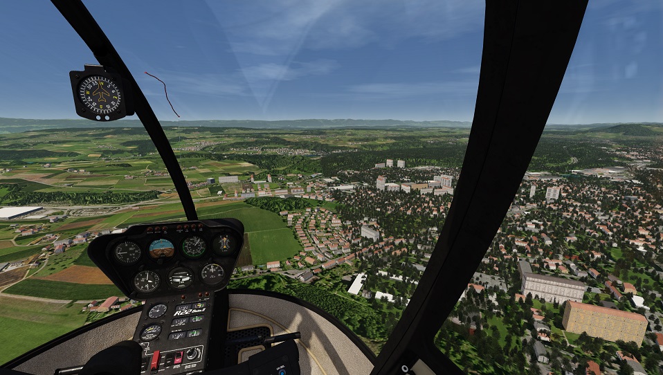
The picture below shows the border of the 8540 stripe west of Berne looking north.
This exists and must be converted to aerofly format with the allowance of the author if published. But for personal use I guess this is possible.
This is possible with a tool like JOSM where the OSM data can be edited. You need to remove the parts of e.g. the highway you do not want to be illuminated. Then by the process of ScenProc the removed parts will not have light points anymore. An awful lot of work. Mybe as a managed joint project with people from this forum.
Regarding OSM and JOSM I have a question: does someone understand how the OSM data can be filtered when downloading. I have read it is possible but I did not understand the coding. I think it would be very useful to just download data you need e.g. streets, trees, forests etc. If you have downloaded just the streets the handling and editing in JOSM would be much easier.
