The realism and natural feel of flying the upcoming helicopter could be increased by enhancing the peripheral vision in Aerofly FS2.
The normal image is a rectilinear projection similar to that given by a camera. With wide angle views the edges become stretched out, a bit like pulling the ears of a portrait. With a very wide, close in view the ears could be as wide as the face, the result of the camera remaining centred on the person's nose with image of the ears being spread over an oblique part of the film/sensor plane. Sort of like I_ versus \__ .
Zooming Aero wide or using multiple monitors does not give a normal view of the peripheral scene, it cannot simulate a turned eye looking directly at the side view. A camera rotating around the centre of its lens can simulate having a curved sensor and several images can be fused to create an image which accurately depicts a scene projected onto the inside of a cylindrical surface.
The relevance to the R-22 is that the peripheral vision is an important cue to the awareness of the helicopter's relation to the horizon. Holding a good flat attitude is key to stable hovering flight in a helicopter and achieving the 'learning to ride a bicycle' moment when instinct replaces laboured coinscious control.
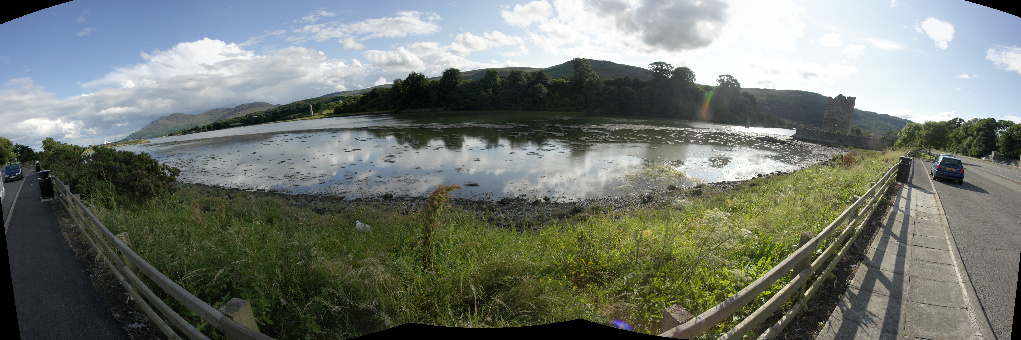
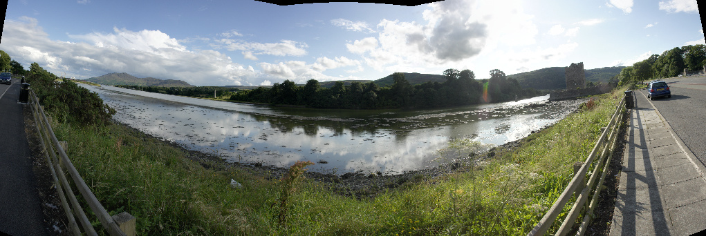
These two cylindrical projection panorama pics cover 215 degrees, directly left and directly right are in the scene. The edges show the effect of the centre of the image projection being above or below the horizon.
This is true in the wide angle simulation of a helicopter flight. These multi view windows in FS2004 cover 225 degrees of view, the edges show the actual left and right views. LaGuardia runway 13/31 runs completely across the picture.
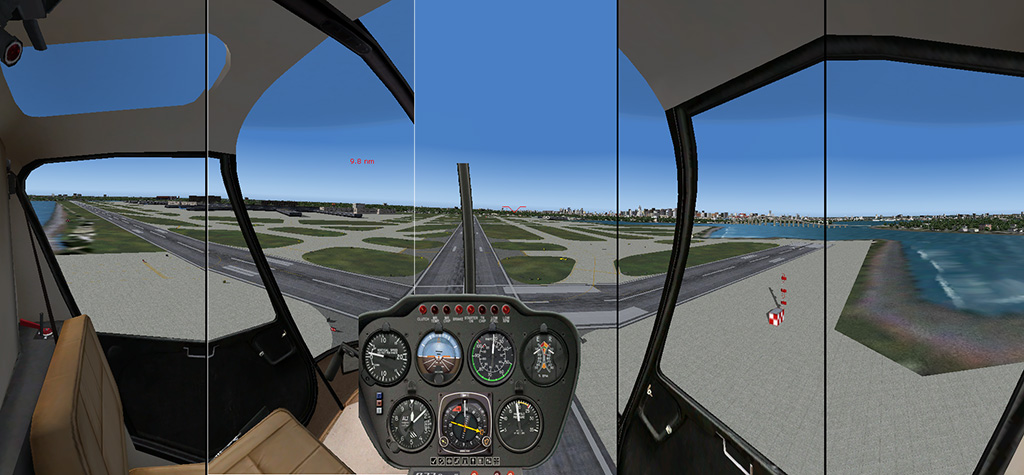
Level attitude.
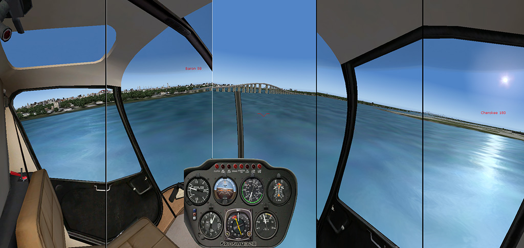
Speeding up.

Slowing down!
Flying the sim is enormously easier with the peripheral vision cues. The uphill and downhill off centre horizon is vastly more informative than trying to assess the plane of flight using the relatively small rise and fall of a flat horizon within a single rectininear (flat) projection front view. Our off centre vision lacks resolution but it is sensitive to motion.
I use the excellent and free Hugin panorama creation software, its response to view adjustments in its preview window is instantaneous, with the wonderfully high performance of the super fast software created by IPACS for Aero FS2, could more advanced image projection be considered for use in the future?
