Geographic Coordinates
Aerofly FS uses a geographic coordinate system for the scenery.
You can display coordinates of your aircraft position in the simulator by pressing Ctrl+F1. The location will be shown in the debug output overlay.
Coordinates are defined in the format Lon/Lat. Altitudes or elevations are defined in meters.
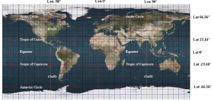
Lon - Longitude is positive towards East, negative towards West
Lat - Latitude is positive towards North, negative towards South.
Finding the Geographic Coordinates
A small excursion to geographic coordinates…
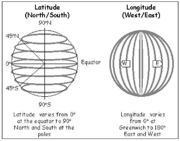
If you want to describe any position on earth in a unified system you may use geographic coordinates (as Aerofly FS 2 does). We need 360 degrees to do a full circle, so the earth simplified as a bowl consists of 360 longitude lines. Longitude 0 is defined through Greenwich, negative to the west and positive to the east. They meet again at the opposite side of the earth at -180/+180 degrees. It is half of a circle going from north pole to south pole. So lat +90 is the north pole, 0 is the equator line, -90 is the south pole.
Note - Make sure that you take the sequence into account: Both ways Lat/Lon and Lon/Lat are common. (Aerofly FS 2 uses Lon/Lat so for example 10°E and 30°N and not the other way around!).
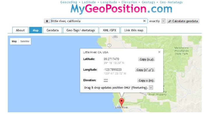
- If you want to place an object at a certain position you may use this page for calculations: http://en.mygeoposition.com/
- Search for Little River, California. We get the first approach to our target position.
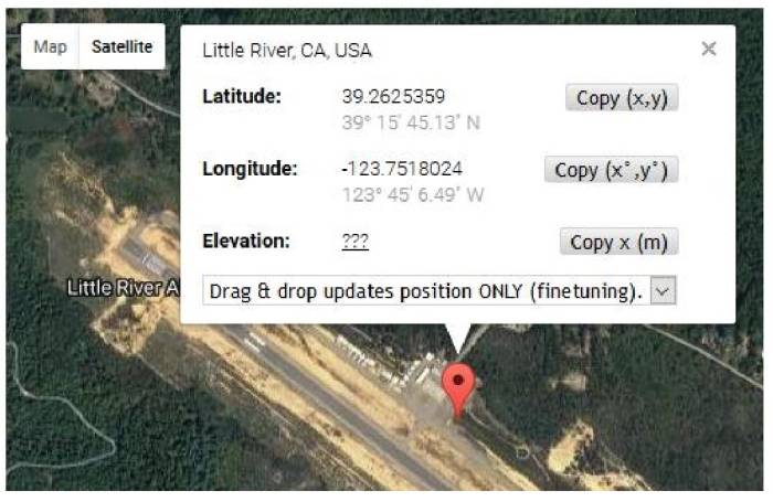
It displays Google map worldwide, so we can move and zoom into our desired position. Switch to Satellite, then click with the mouse to the favored point. This opens a window with the appropriate coordinates.


